News that matters in AmericaReporting on public life and the stories shaping the United States.
Arthur is no longer a tropical cyclone, but its remnants remain a flooding threat from Louisiana and Mississippi into Alabama, Georgia and the Florida Panhandle. Heavy rain, flash flooding and a few tornadoes remain possible after the final National Hurricane Center advisory.
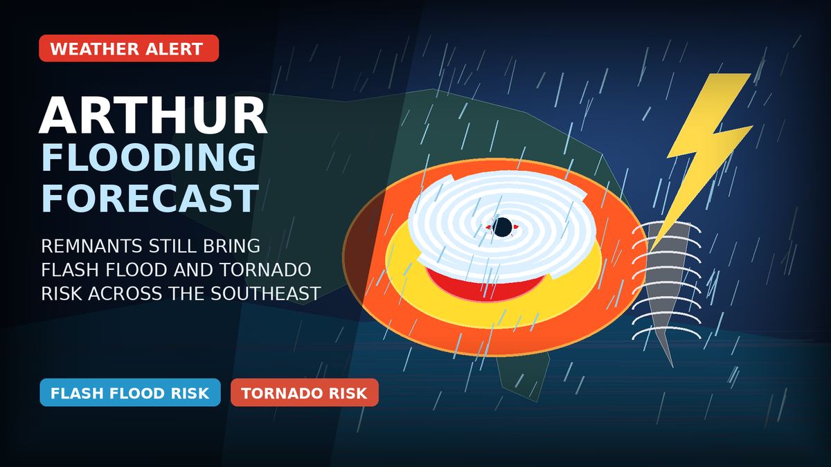
Arthur is no longer a tropical cyclone, but its remnants remain dangerous for parts of the Southeast. Flooding is the main concern through Friday from Louisiana and Mississippi into Alabama, Georgia and the Florida Panhandle, and residents should keep alerts on and avoid flooded roads.
The National Hurricane Center (NHC) issued its last advisory on Arthur after the system weakened into a post-tropical low near the upper Texas coast Wednesday night. Coastal tropical-storm watches and warnings were discontinued, but the agency said the remnants would continue to spread widespread heavy rain across the southeastern United States.
The center of the former storm was expected to move inland over southeastern Texas and western Louisiana before crossing the Southeast Thursday into Friday. The NHC said the surface center was expected to dissipate, but the moisture plume and rainfall shield would remain the hazard.
The Weather Prediction Center (WPC) placed the central Gulf Coast in a High Risk of excessive rainfall for Thursday, saying widespread and potentially life-threatening flash flooding was likely. The focus includes the Interstate 10 corridor from southern Mississippi to the western Florida Panhandle, with Mobile and Pensacola among urban areas specifically in the zone of concern.
Flood watches were in effect across a broad part of the region. The National Weather Service (NWS) office in Mobile described the watch for parts of Alabama, northwest Florida and southeast Mississippi as a particularly dangerous and life-threatening situation, with considerable flash flooding likely and catastrophic flooding possible.
Southeast Louisiana and southern Mississippi also remained under a flood watch through Friday morning. The New Orleans-area NWS office said extensive street flooding and flooding of creeks and rivers were possible, with multiple rounds of heavy rain expected.
The NHC forecast called for 5 to 10 inches of rain, with isolated totals near 20 inches, through early Friday from the mid and upper Texas coast east-northeast into Louisiana, Mississippi, Alabama, western Georgia and the Florida Panhandle.
Some local forecasts were more specific for the highest-risk areas. The Mobile NWS office said additional rainfall of 6 to 12 inches was expected in its watch area, with locally more than 15 inches possible near the coast. The Tallahassee office said parts of southeast Alabama, southwest Georgia and the Florida Panhandle could see 3 to 7 inches, with high-end totals of 8 to 12 inches possible.
Even lower amounts can cause problems where soils are saturated or streams are already running high. The WPC said additional rain Friday may be lighter than Thursday in many places, but a Moderate Risk of excessive rainfall remains for southern Alabama and adjacent areas because flooding may still be ongoing.


The tornado risk is not as widespread as the flooding risk, but it has not ended. The Storm Prediction Center (SPC) said wind fields tied to Arthur’s remnants would support organized bands of storms from Louisiana and Mississippi into Alabama, the Florida Panhandle and Georgia, with a localized tornado risk in stronger embedded cells.
The NHC also said a few tornadoes were possible through Thursday in parts of Alabama, Georgia and the Florida Panhandle, after an earlier risk across southeast Louisiana and southern Mississippi. Anyone under a tornado warning should move to a small interior room on the lowest floor and stay away from windows.
Along the coast, the NHC said elevated water levels along Texas and Louisiana should gradually subside, but swells could still produce life-threatening surf and rip currents along the northwestern Gulf Coast for another day or two.
Do not drive through water covering a road. Floodwater can hide washed-out pavement, and fast-moving water can carry away vehicles. Use another route if a road is barricaded or water is rising.
Keep wireless emergency alerts turned on, especially overnight and during repeated heavy rain. Local NWS offices urged people in flood watch areas to be ready to act if flash flood warnings are issued, including warnings labeled considerable or catastrophic.
People in low-lying areas, near creeks or in poor-drainage neighborhoods should move vehicles and essential items to higher ground before water rises. Travelers should check road conditions and local forecasts before leaving, because the heaviest rain bands can shift quickly.
The NHC is no longer issuing routine public advisories for Arthur, so the most important updates now come from the WPC, local NWS offices and local emergency managers. Flood watches, flash flood warnings and tornado warnings may be added, extended or narrowed as rain bands set up.
The NHC said Arthur’s remnants may emerge over the Atlantic by Friday, but the immediate public-safety concern is inland flooding across the Southeast. The next meaningful changes are likely to come from updated WPC outlooks and local NWS warnings.