News that matters in AmericaReporting on public life, technology, money, and policy in the United States.
Parts of the Upper and Mid Mississippi valleys and Midwest face an Enhanced Risk for severe storms Wednesday, with tornadoes, large hail and damaging winds possible. Residents should monitor National Weather Service alerts and be ready to shelter if warnings are issued.
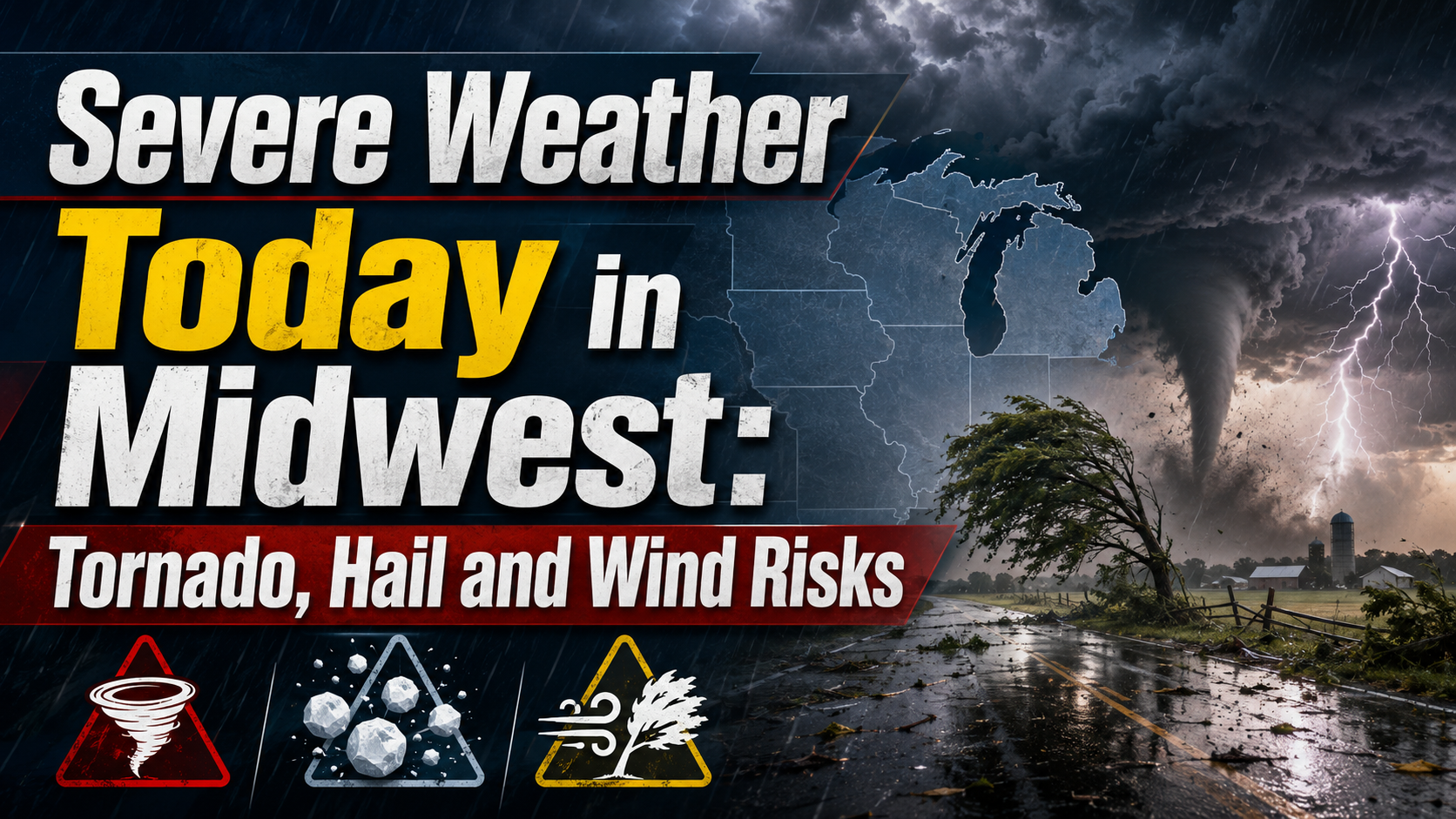
Parts of the Upper and Mid Mississippi valleys and Midwest face an Enhanced Risk for severe thunderstorms today, with the Storm Prediction Center forecasting large hail, a few strong tornadoes and damaging winds this afternoon and evening. People in the risk area should keep alerts turned on and be ready to move indoors quickly if the National Weather Service issues a warning.
The Storm Prediction Center’s Day 1 outlook places an Enhanced Risk, level 3 of 5, across parts of the Upper and Mid Mississippi valleys and Midwest.
The outlook highlights a corridor where storms could strengthen from southern Iowa and northern Missouri toward northeast Iowa, southern Wisconsin and northern Illinois. Additional development is possible later from central Iowa toward northeast Kansas, with another late-period severe threat possible in central and eastern Nebraska.
The Weather Prediction Center also said the broader storm system will push a front from the Northern and Central Plains toward the Great Lakes and Ohio Valley, supporting severe thunderstorms and heavy rain over parts of the Upper and Middle Mississippi Valley and Great Lakes region.
The strongest storms could produce hail larger than 2 inches in diameter, wind gusts over 75 mph and a few strong tornadoes, according to the Storm Prediction Center.
The threat will not be the same everywhere. Large hail is more likely with storms that remain more separate, while damaging winds become more likely if storms organize into bowing line segments. Heavy rain could also lead to localized flash flooding, especially in urban areas, on roads, near small streams and in low-lying locations.
In the Chicago forecast area, the local National Weather Service office said north-central Illinois, northeast Illinois and northwest Indiana could see a damaging-wind risk up to 75 mph, large hail risk up to 1 inch, a lower tornado risk and elevated flooding risk today and tonight.
The main Midwest window is this afternoon into tonight.
The Storm Prediction Center said storms already underway in southern Iowa and northern Missouri could re-intensify as they move into a more unstable air mass. A strong to occasionally severe line could affect areas from northeast Iowa into southern Wisconsin and northern Illinois.
A second round may develop this evening from central Iowa southwest into northeast Kansas, and along outflow from northwest Illinois across southern Iowa. The stronger tornado concern depends on whether storms can stay more isolated before merging. Some severe storms may continue late tonight into central and eastern Nebraska.
At publication check, the Storm Prediction Center’s current-watch page listed no valid convective watches. That status can change quickly as storms develop.
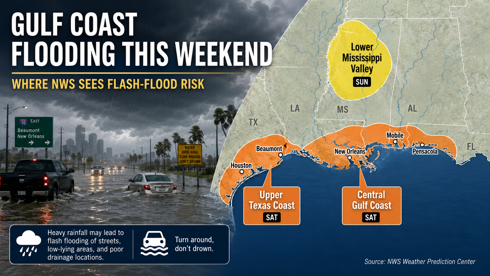
Parts of the Gulf Coast face localized flash-flood risk this weekend as heavy showers and storms move inland from the Gulf. The National Hurricane Center says tropical cyclone formation is not expected during the next seven days.
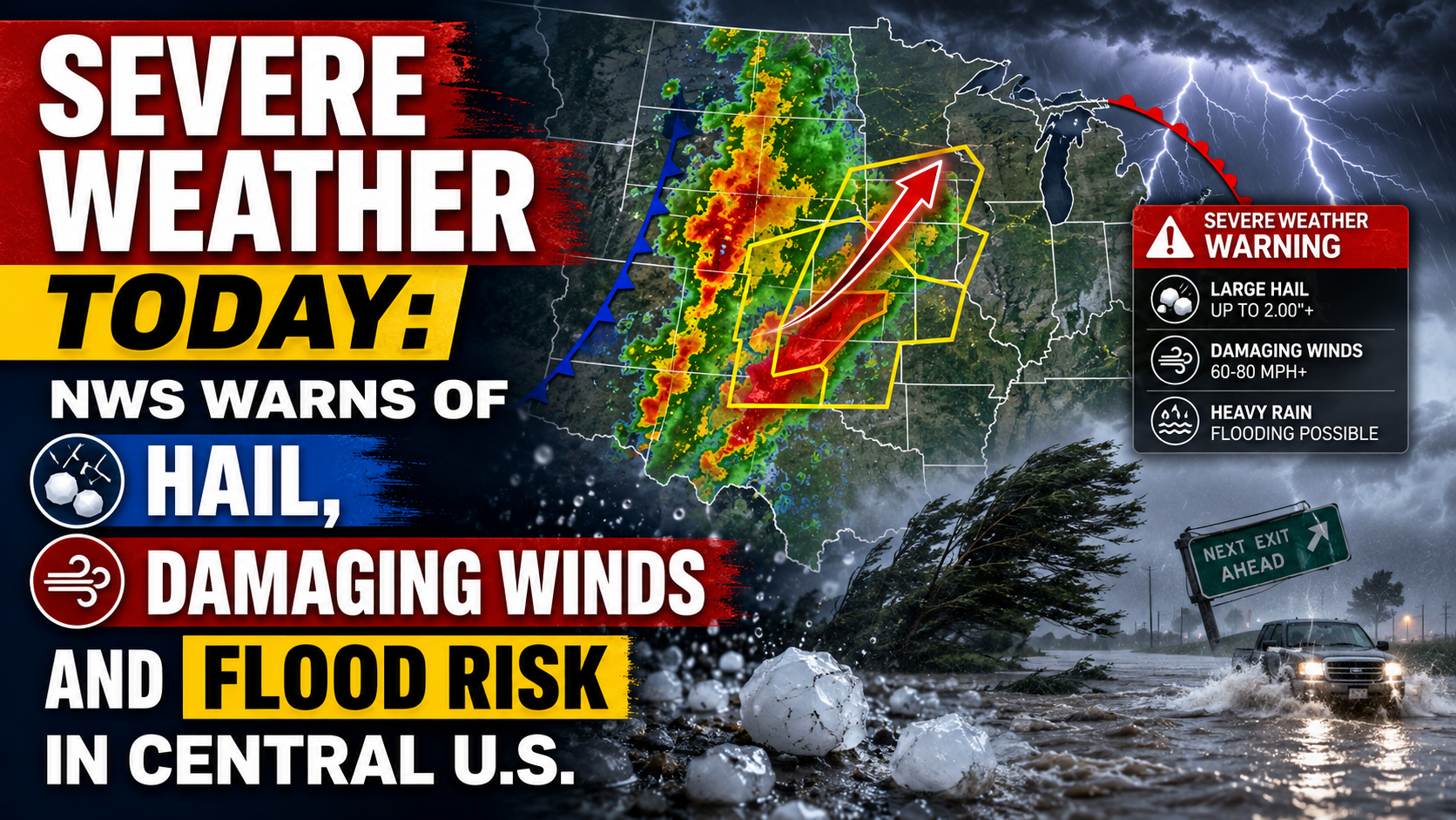
The National Weather Service says parts of the central U.S. face severe thunderstorms today, with large hail, damaging winds, isolated tornado risk and flooding possible. The main risk areas stretch from the central Plains into the Midwest, with a separate heavy-rain threat from Texas into the Mississippi Valley.

A watch means conditions are favorable for severe storms in or near the watch area. A warning is more urgent and means severe weather has been reported or indicated by radar for a smaller area. Local warnings should take priority over any broad regional outlook.
Readers should use official alert sources, including the National Weather Service active alerts page, local National Weather Service office updates, NOAA Weather Radio, Wireless Emergency Alerts and local broadcasters.
If a severe thunderstorm warning is issued, move into a sturdy building and stay away from windows. Do not shelter in a mobile home if damaging winds are approaching.
If a tornado warning is issued, go to a basement, safe room or small interior room on the lowest floor, away from windows. At work or school, follow the posted tornado shelter plan and avoid large open rooms such as gyms, cafeterias and auditoriums.
Before storms arrive, secure loose outdoor items, charge phones and make sure alerts are enabled. If heavy rain causes flooding, do not drive or walk into floodwater.
Severe-weather outlooks, watches and local warnings can change through the afternoon and evening. Check official alerts again before evening travel, outdoor events or going to bed if storms are still nearby.
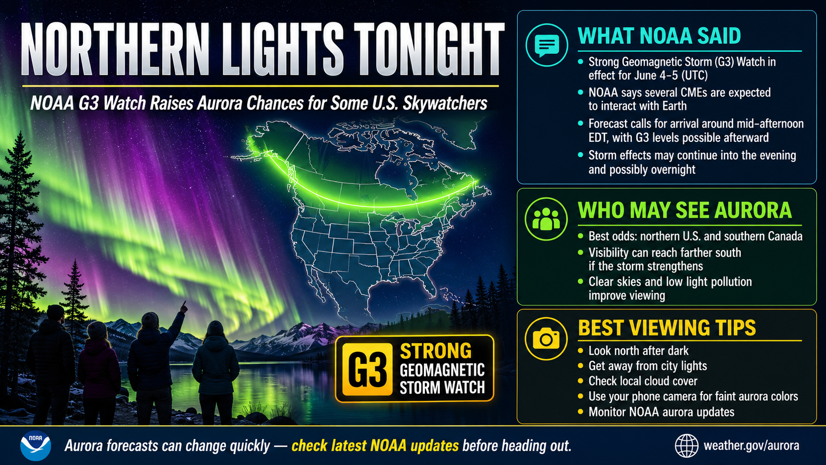
NOAA says a G3 geomagnetic storm watch is in effect for June 4 and June 5 as CMEs are forecast to interact with Earth. Aurora visibility tonight will depend on final storm strength, darkness, cloud cover and the latest SWPC forecast maps.