 orywire
News that matters globallyReporting on public life and major developments across the U.S., the UK, and beyond.
orywireSevere Weather reporting and analysis from Zorywire.
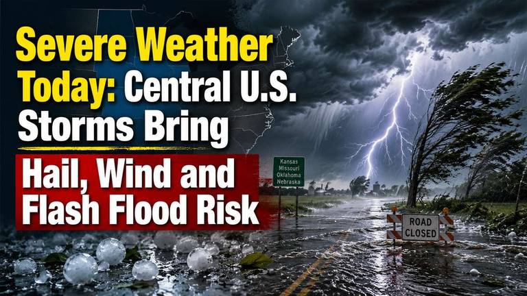
NWS outlooks place parts of the Central U.S. under severe thunderstorm and heavy rainfall concerns today. Large hail, damaging winds, tornadoes and flash flooding are possible from the central Plains toward the Midwest and Ohio Valley.
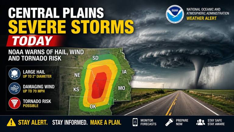
NOAA’s Storm Prediction Center placed parts of the Central Plains under an Enhanced Risk for severe storms Saturday, with large hail, damaging wind and a few tornadoes possible. The greatest risk is expected this afternoon and evening, with flash flooding possible into early Sunday.
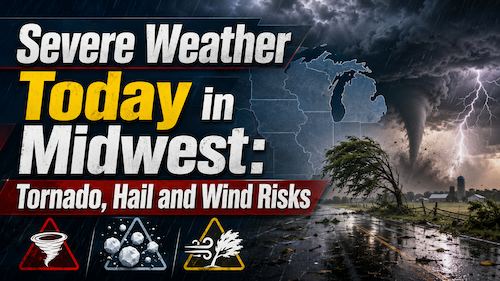
Parts of the Upper and Mid Mississippi valleys and Midwest face an Enhanced Risk for severe storms Wednesday, with tornadoes, large hail and damaging winds possible. Residents should monitor National Weather Service alerts and be ready to shelter if warnings are issued.
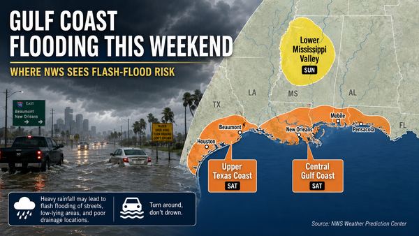
Parts of the Gulf Coast face localized flash-flood risk this weekend as heavy showers and storms move inland from the Gulf. The National Hurricane Center says tropical cyclone formation is not expected during the next seven days.
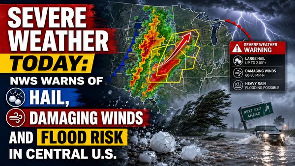
The National Weather Service says parts of the central U.S. face severe thunderstorms today, with large hail, damaging winds, isolated tornado risk and flooding possible. The main risk areas stretch from the central Plains into the Midwest, with a separate heavy-rain threat from Texas into the Mississippi Valley.
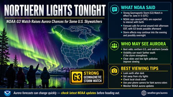
NOAA says a G3 geomagnetic storm watch is in effect for June 4 and June 5 as CMEs are forecast to interact with Earth. Aurora visibility tonight will depend on final storm strength, darkness, cloud cover and the latest SWPC forecast maps.
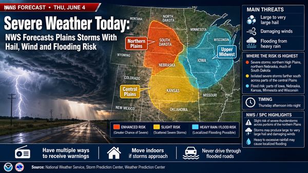
The National Weather Service says severe storms could affect parts of the Plains and Upper Midwest on Thursday, with risks that include large hail, damaging winds, a couple of tornadoes and localized flooding. Residents should monitor local NWS alerts as storms develop later in the day.